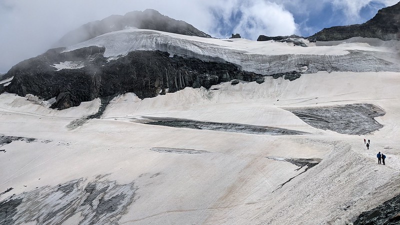
The path from Felksin to the Britannia hut has dramatically changed since I did it (at about the same time) last year (GPS: traverse; lakes). All the snow has gone, and the glacier shrunk. But do I have the pix to prove it? Not as well comparable as I'd like. Here's 2021:
And 2022:
All the snow is gone. Which is annoying, because snow is much easier to walk on than ice. But the "ramp" down onto the glacier is totally gone too, transforming an easy stroll into a rough path. Further round, the "traverse" route over snow is gone, so you have to go the "lakes" route, which is half an hour longer and more work. Indeed, in theory the route from Felskin is closed from 11th August, and the alternative is to climb up an extra 500 m from Morenia.
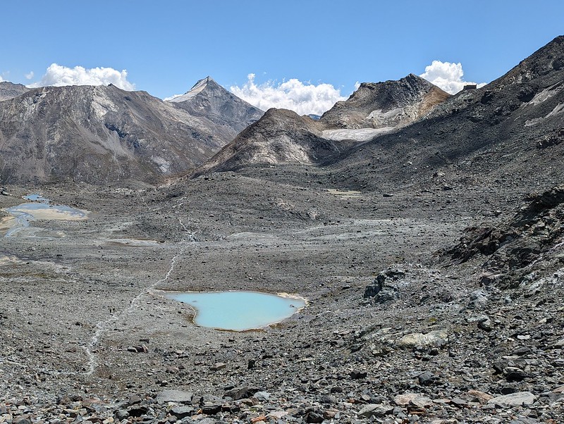
The lakes themselves are like this now:
and were like this in 2021:
Although to be fair that isn't convincingly anything other than annual variation.
Higher up, on the Allalingletscher, I don't have good pix for comparison, but what I happily walked on last year solo with barely a "woo, there's some crevasses here under the snow, I really ought to walk carefully" was replaced by a "well we may be roped together but we're having to zig-zag through this ugly crevasse field" because all the snow bridges had melted out. And there was no snow, just bare ice, until about 3300 m.
We had a second similar experience from the Monte Rosa hut. Last year, again, I was at the "woo, there are some crevasses here" stage:
But this year it was "FFS, how are we supposed to get through this?":
That picture actually makes it seem better than it was; what it was, was impassable, at least for us, though some others did get through.
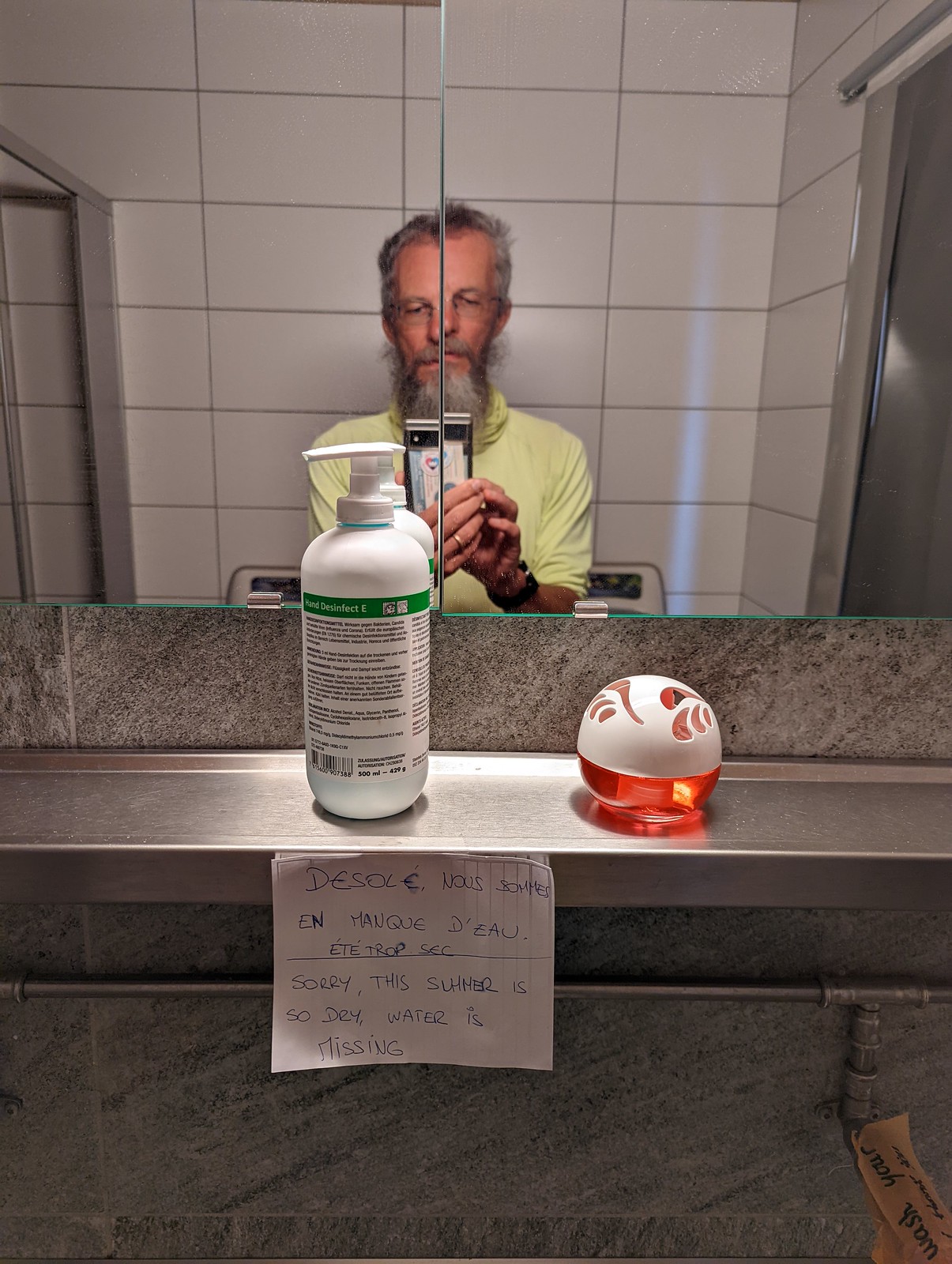
Others: a newspaper article about the ice melting. And several huts had run out of water; either because their snowpack or streams had gone.


